Chichester Flooding
(page 2 of 2)
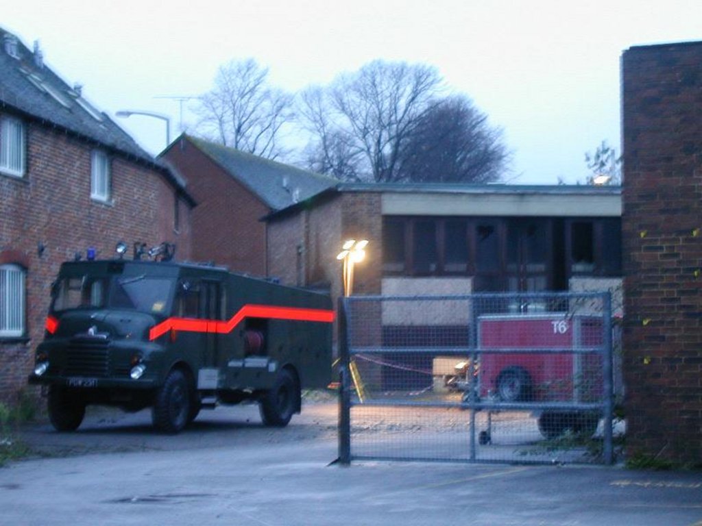
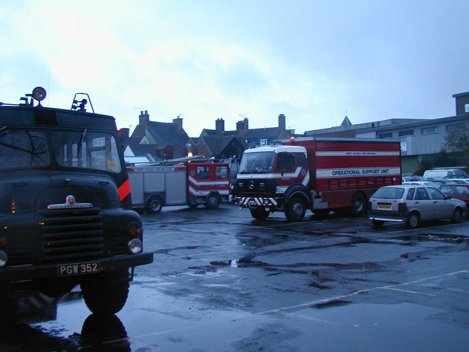
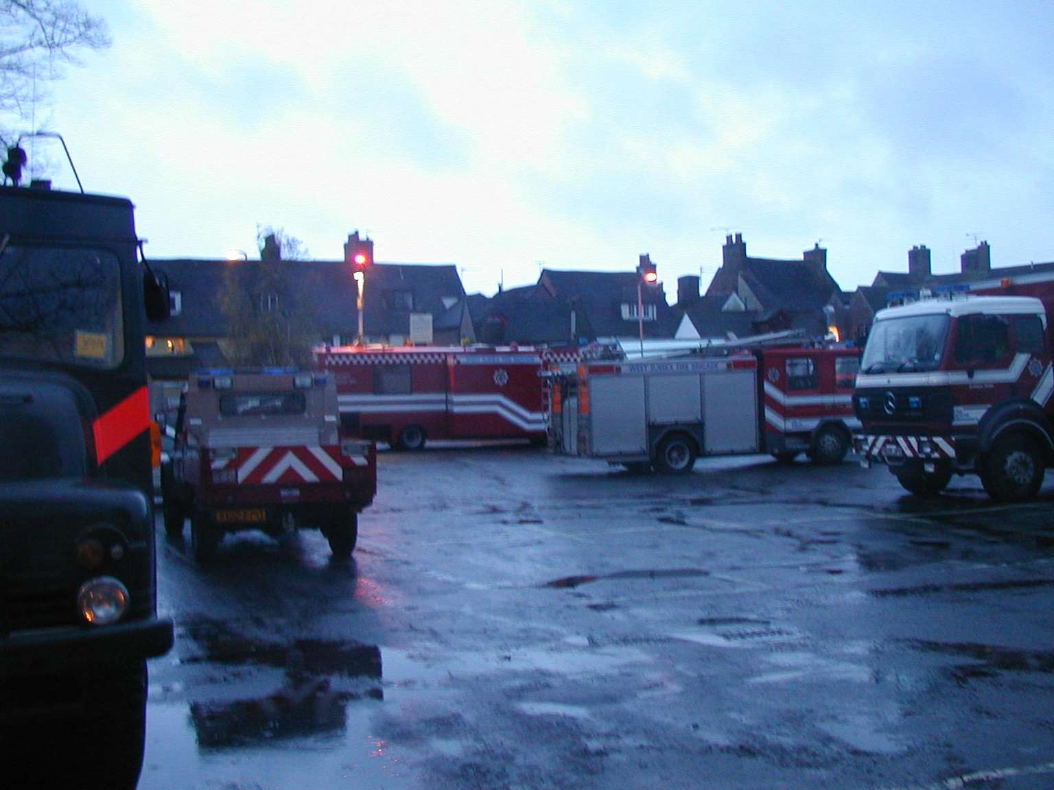
Gallery of 49 files, all images. Ten are featured.
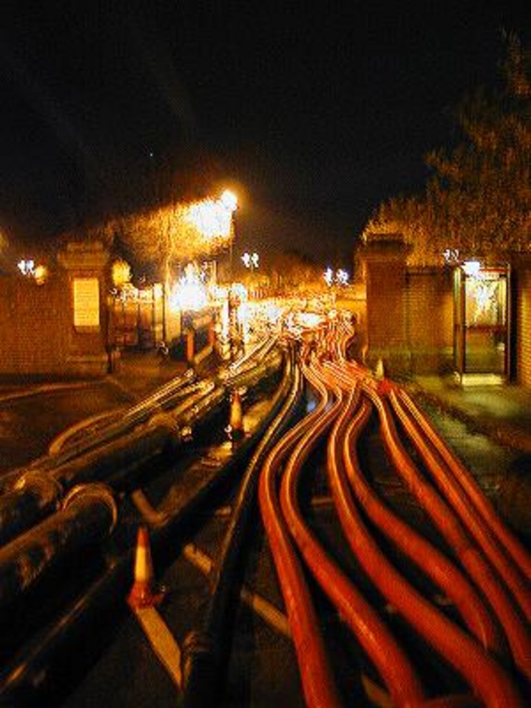
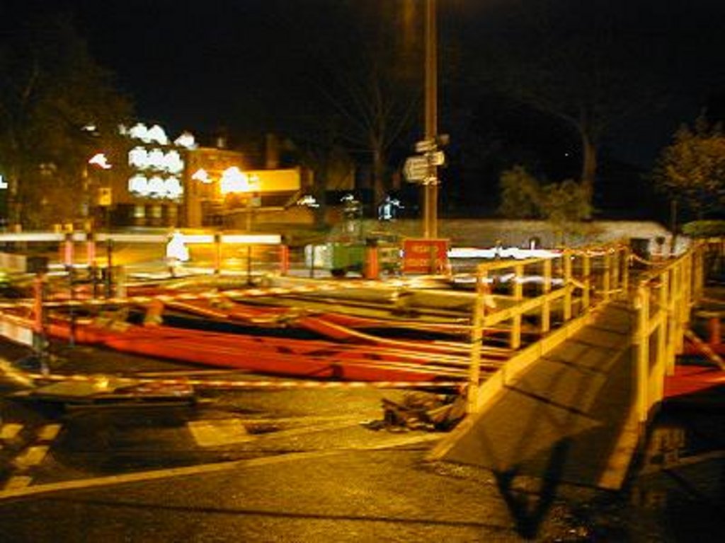
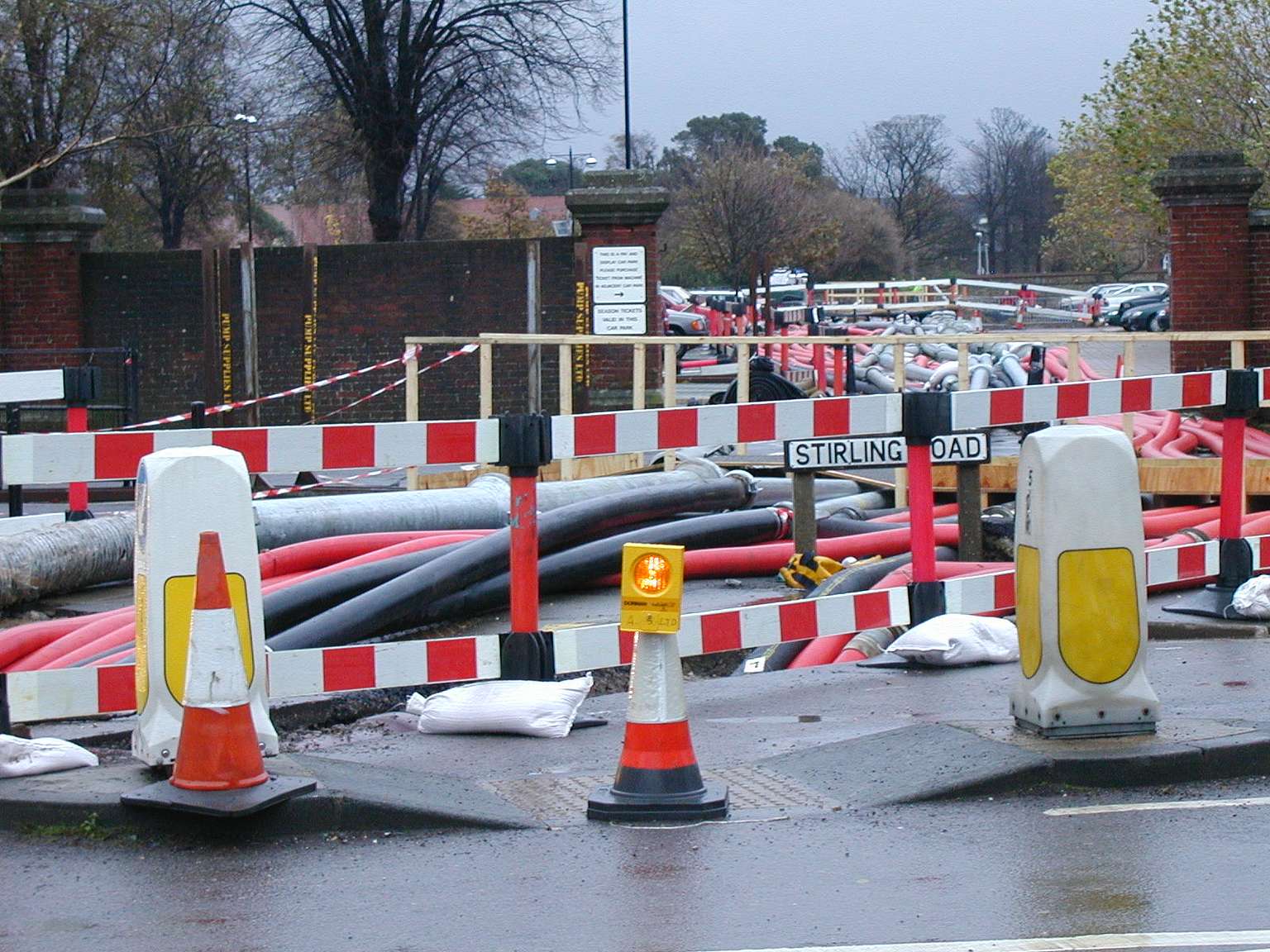
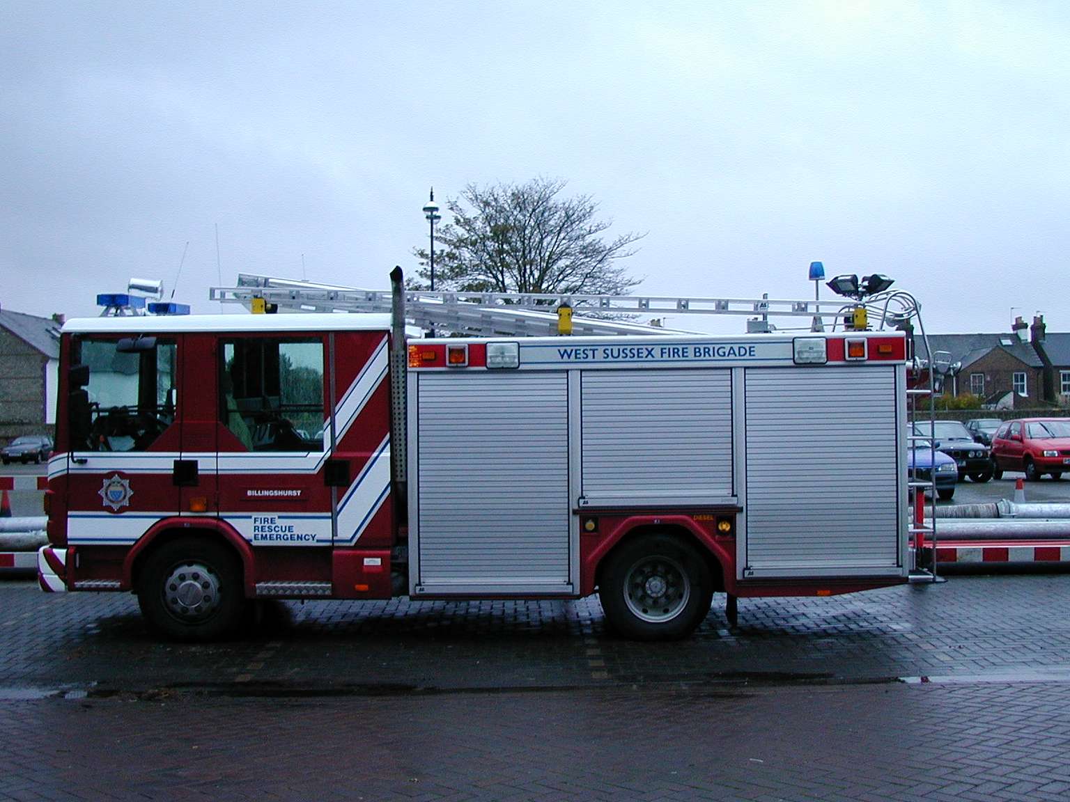
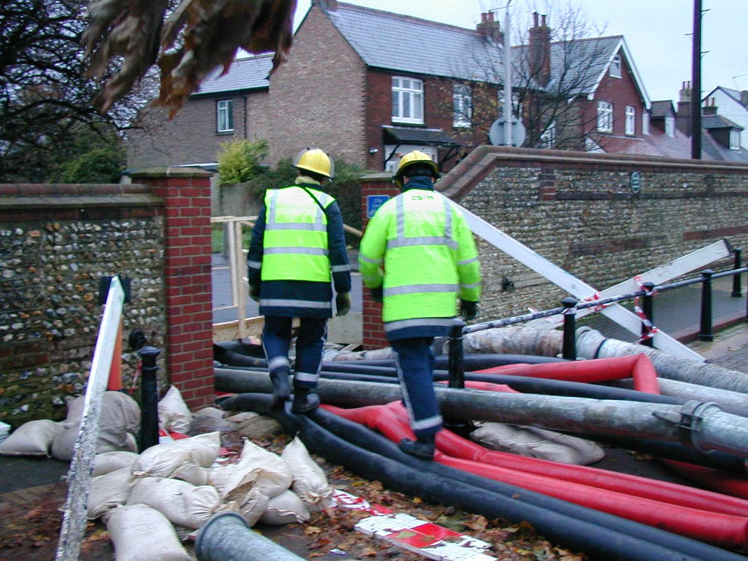
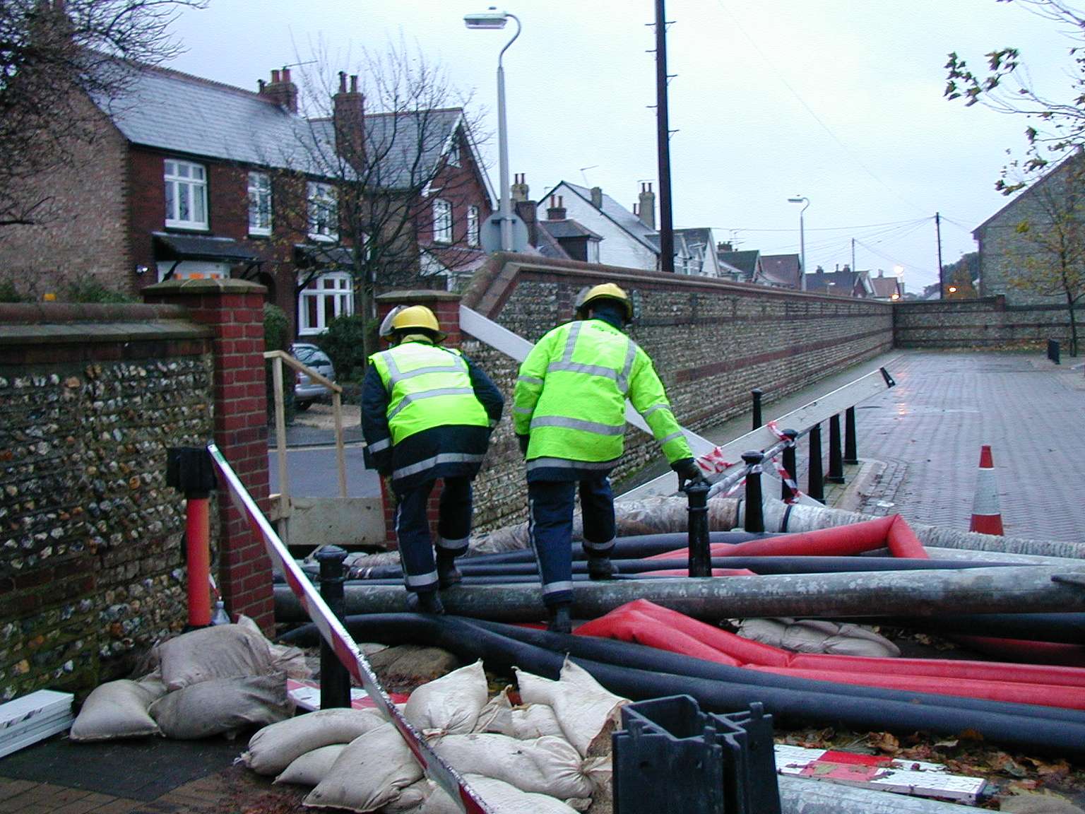
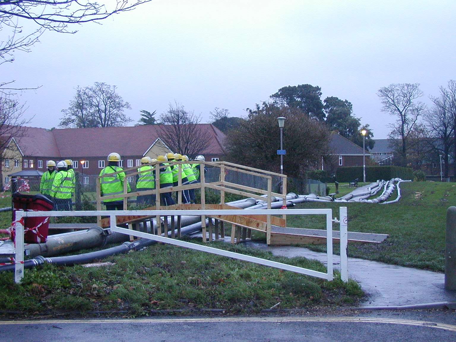
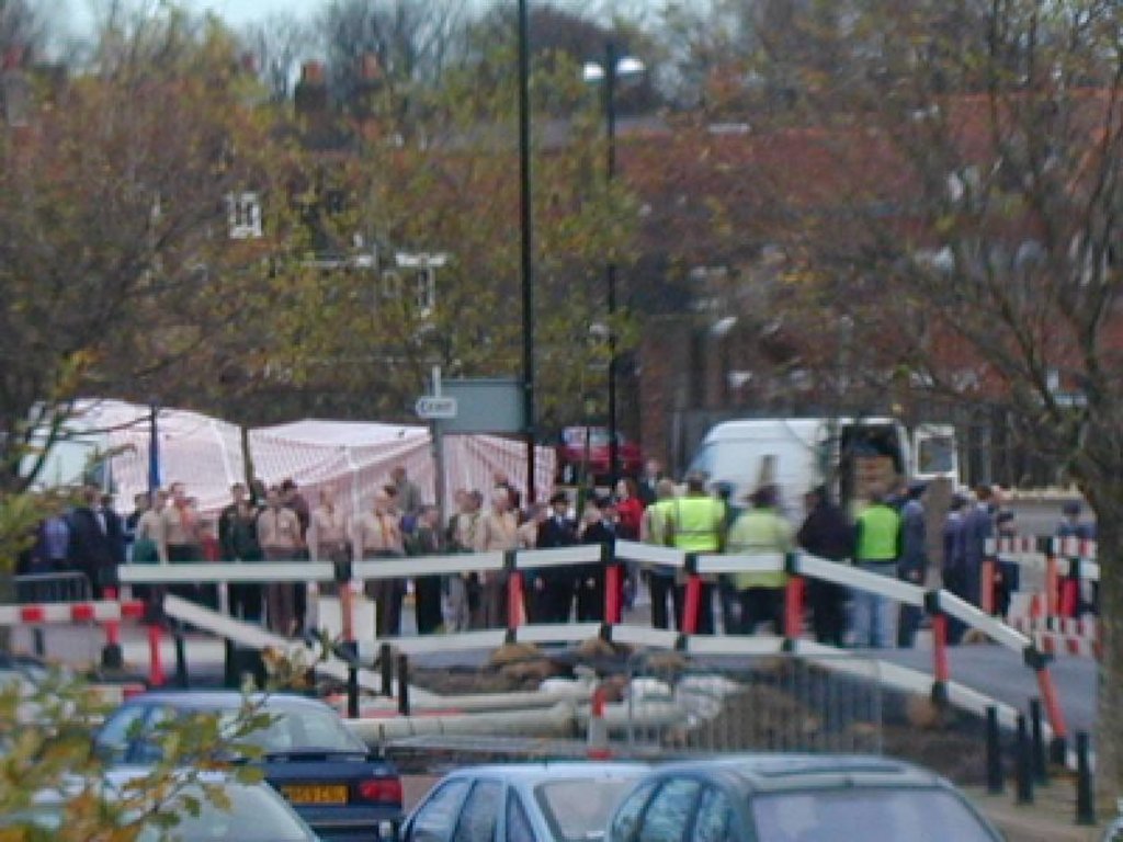
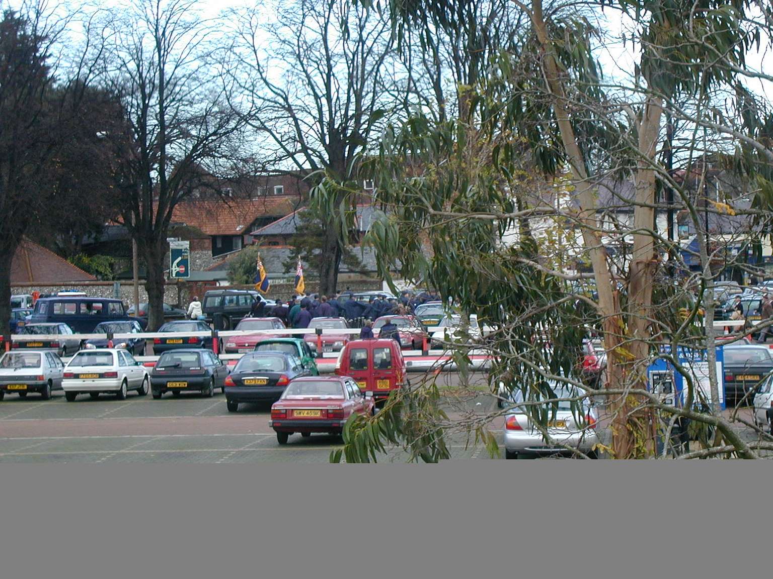
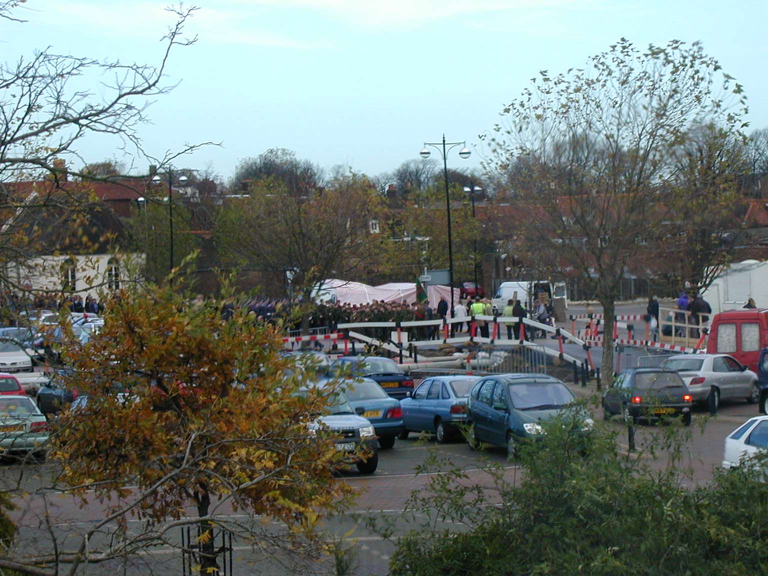
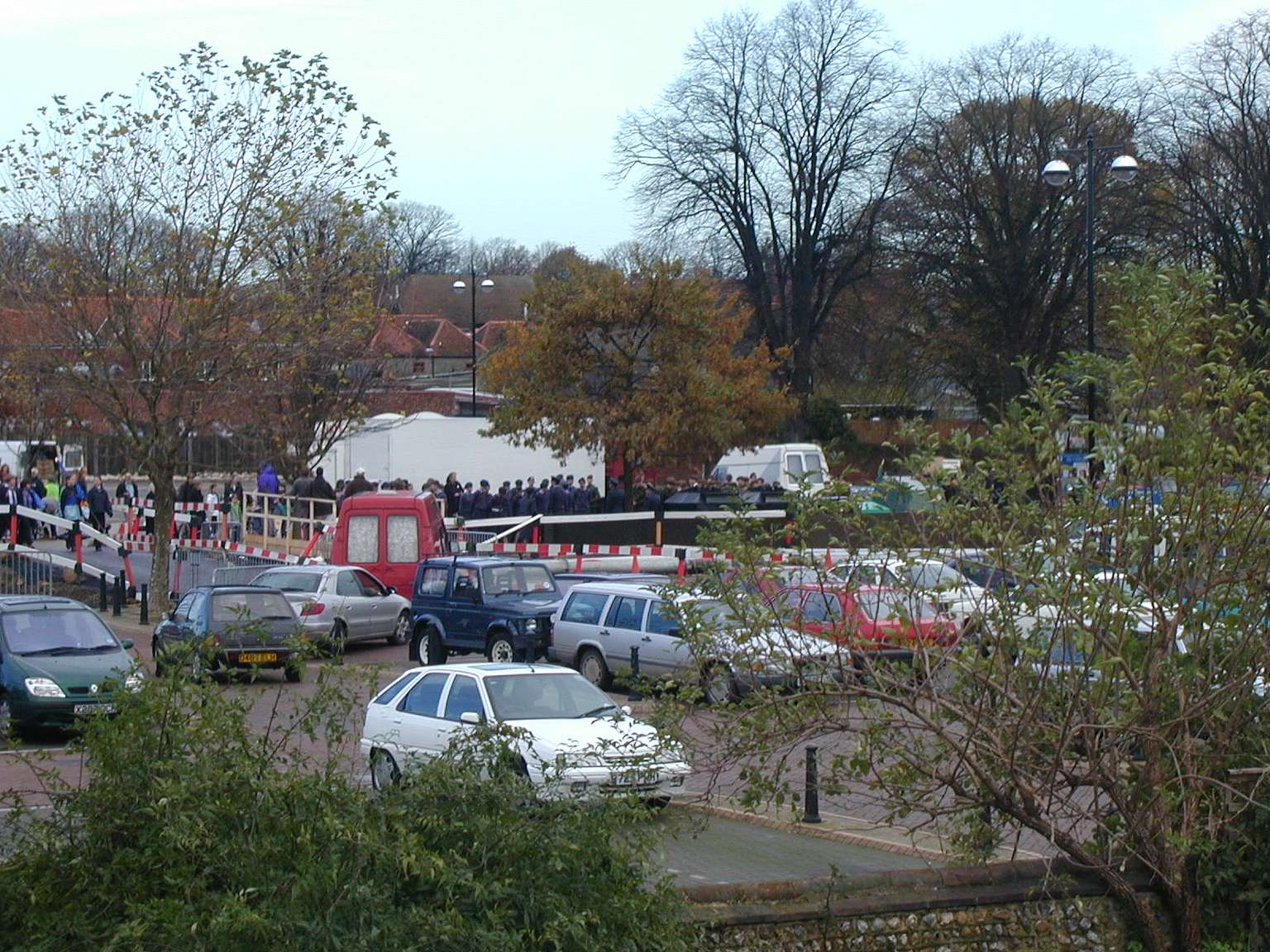
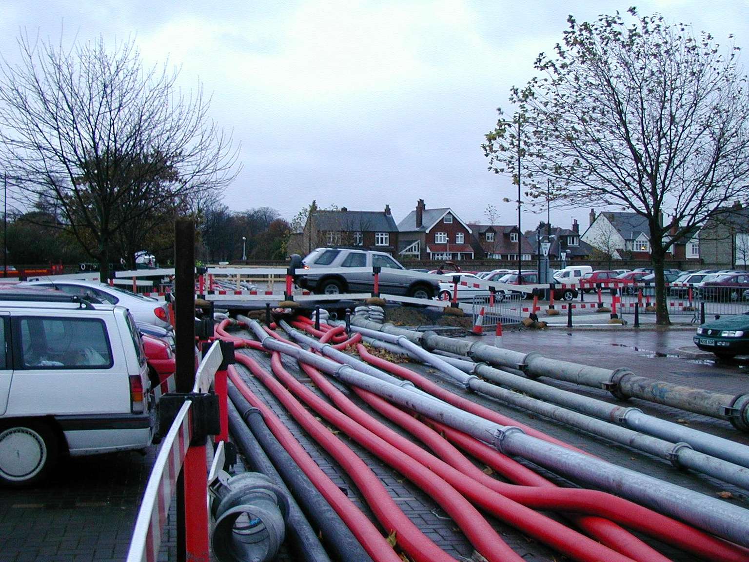
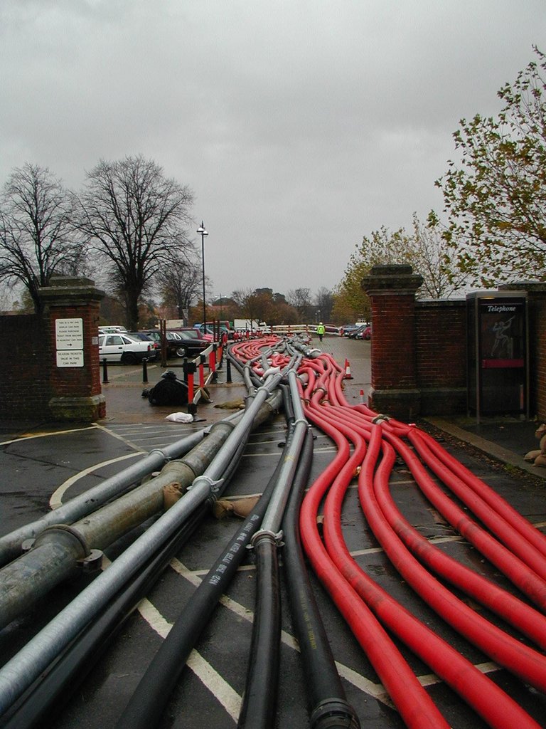
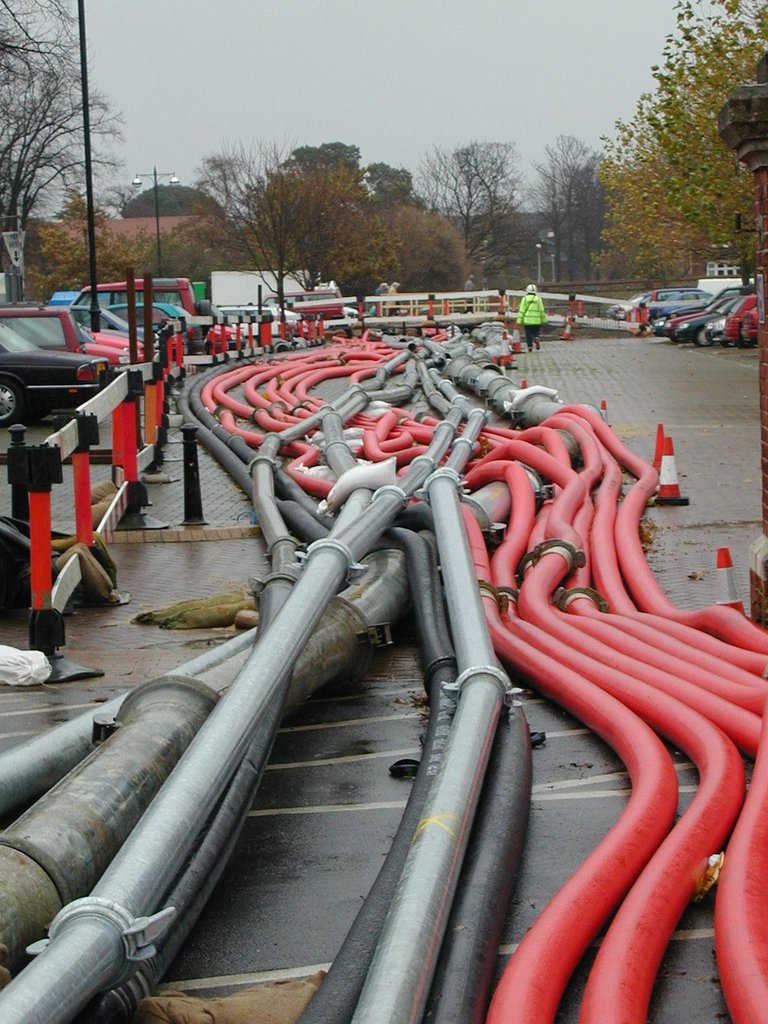
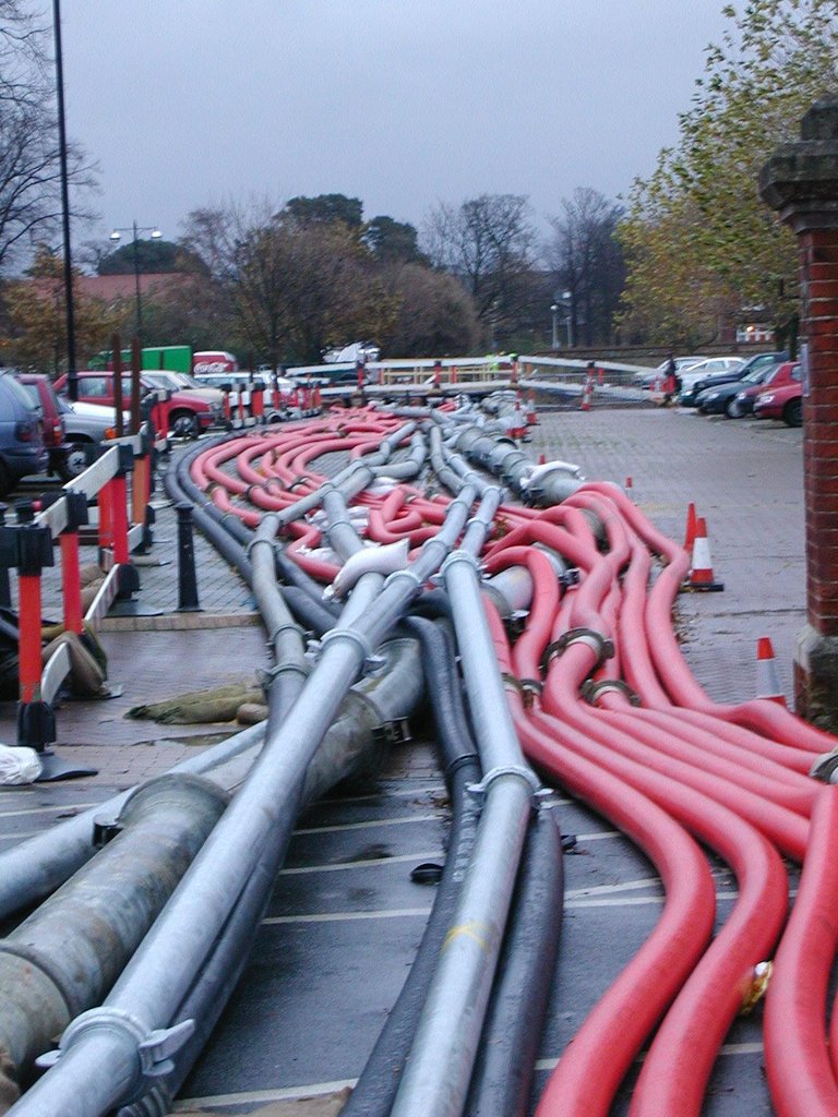
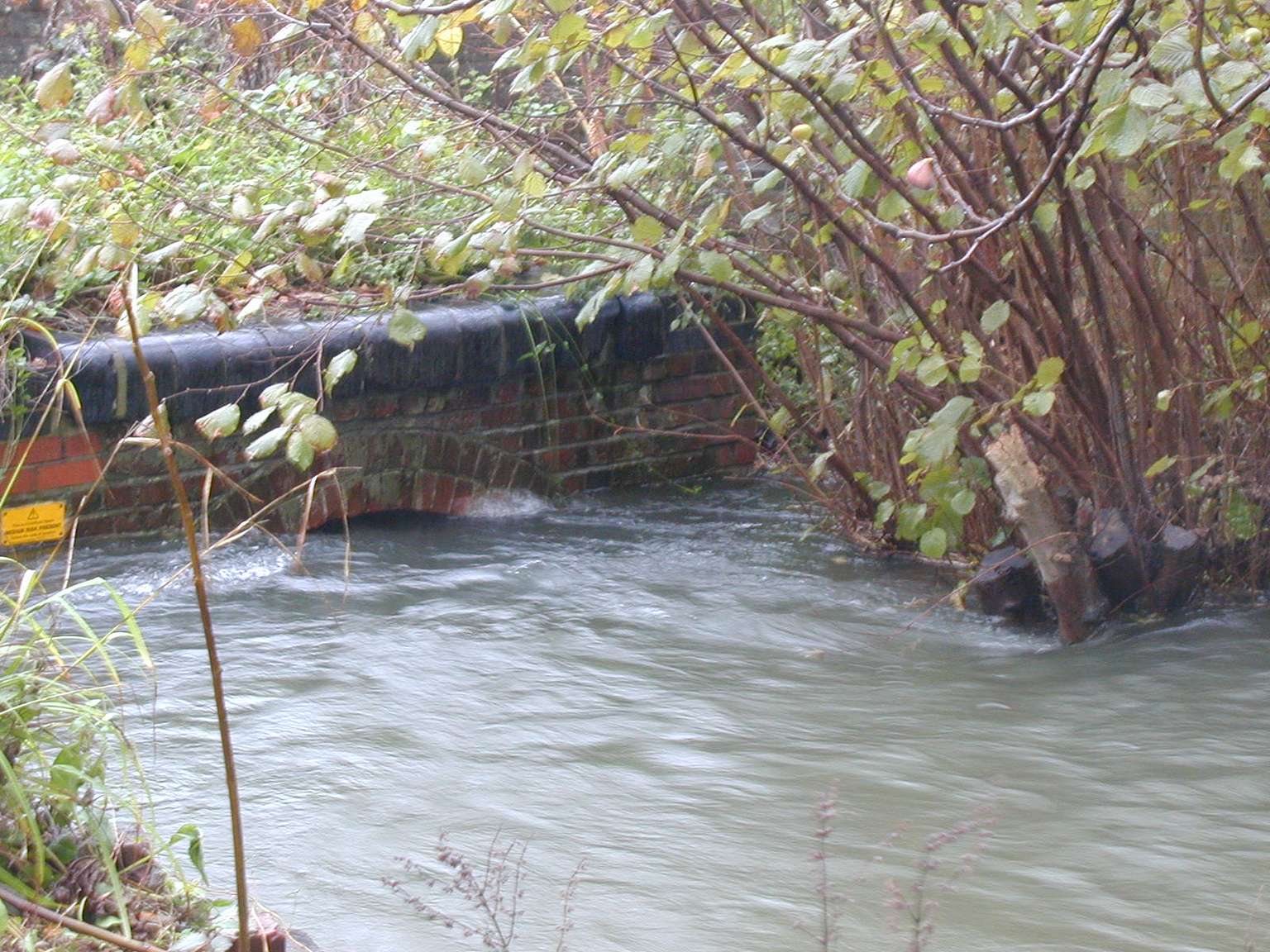
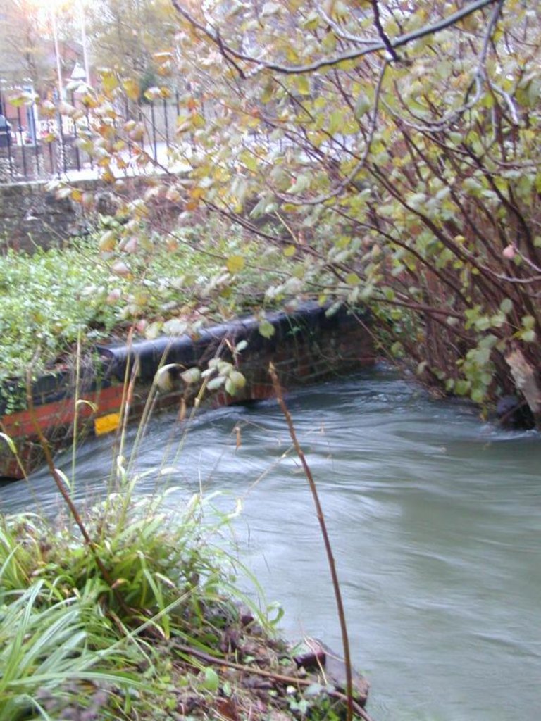
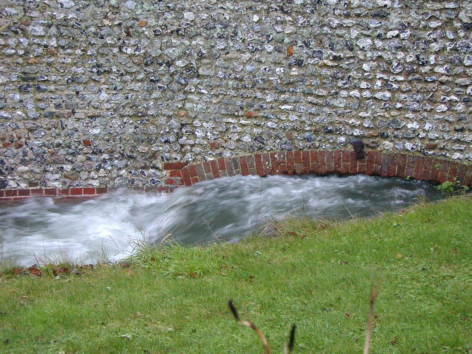
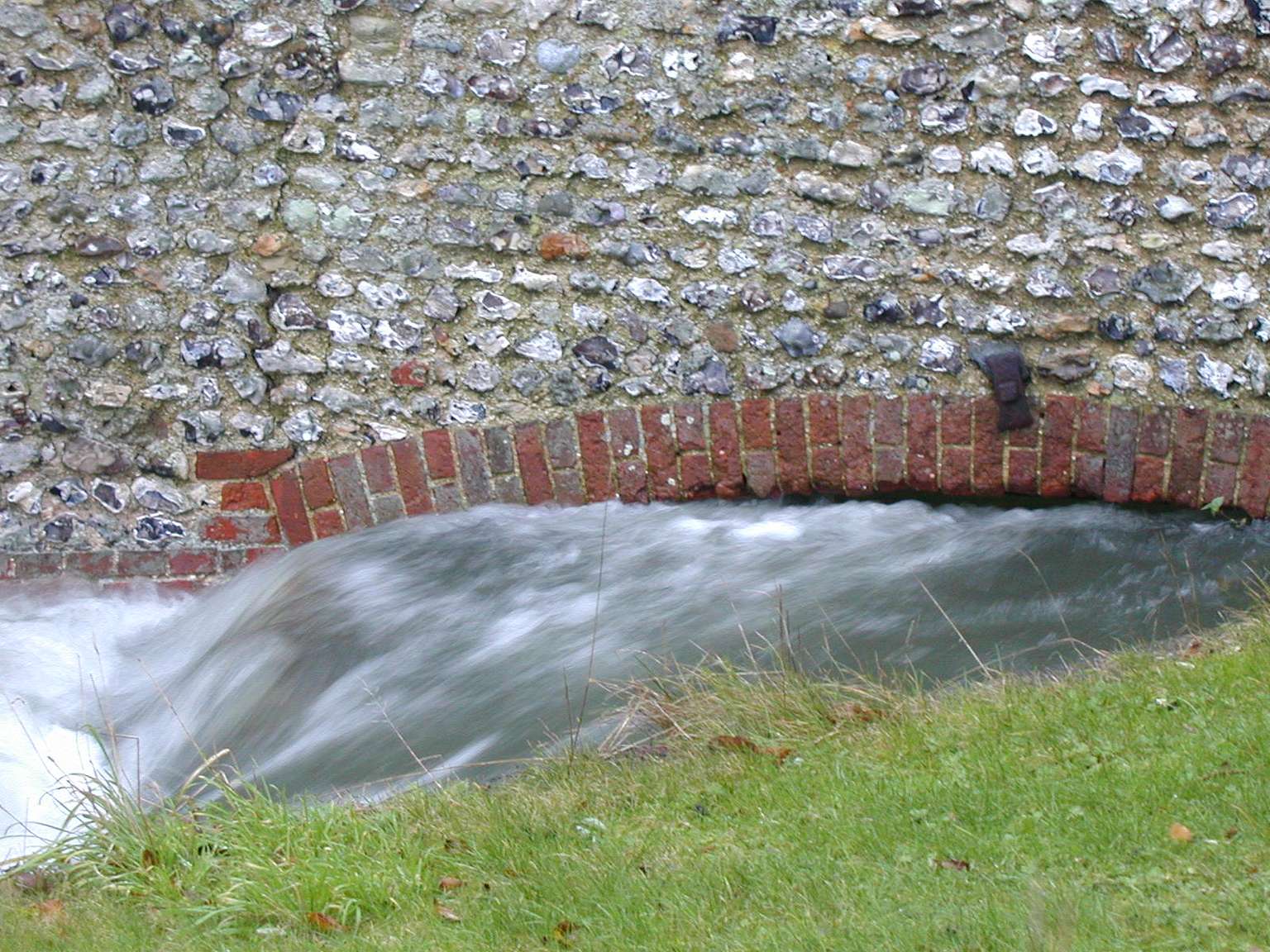
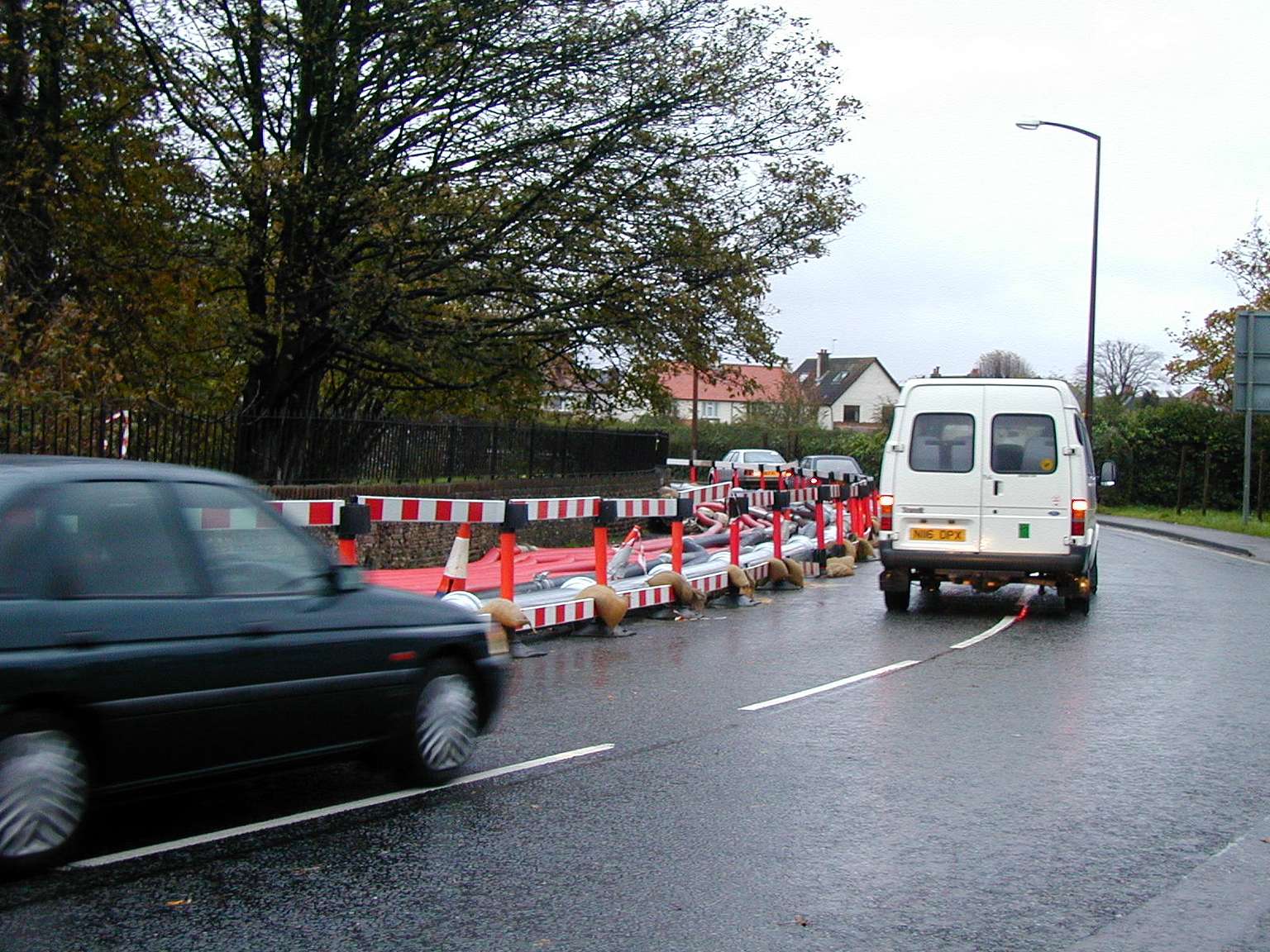
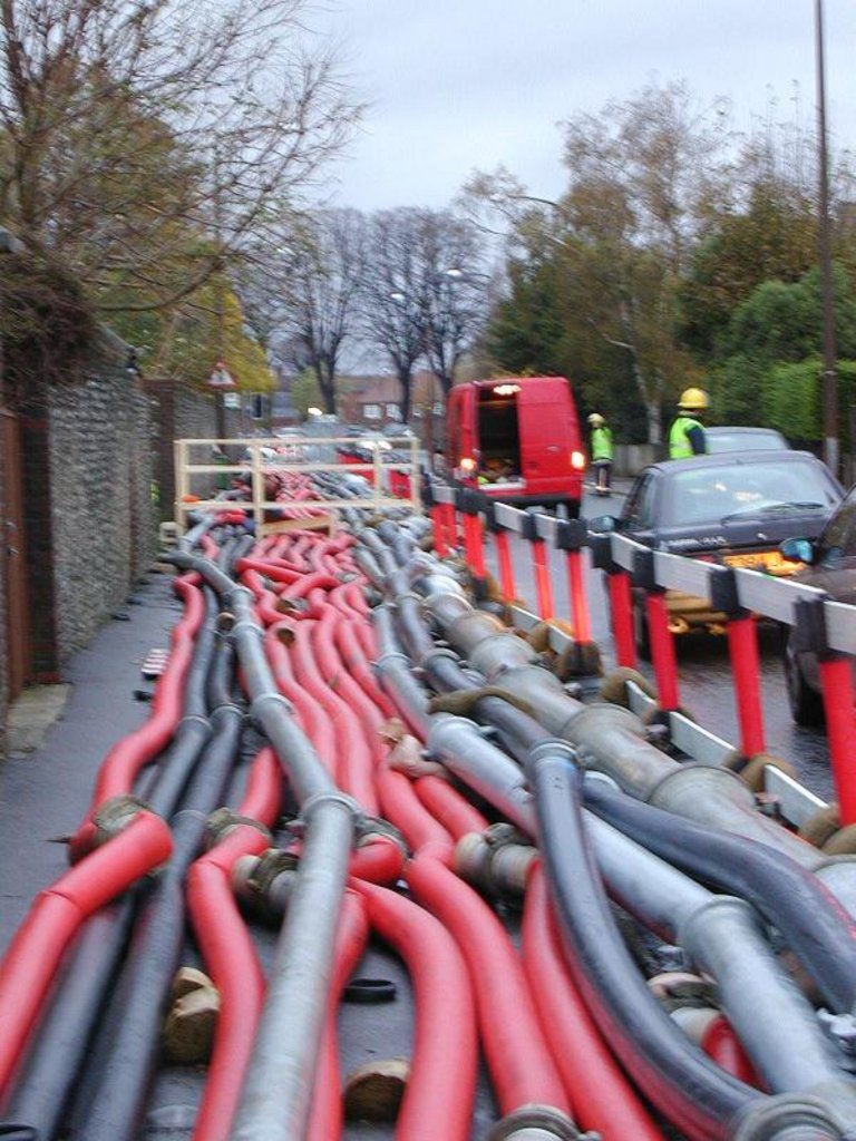
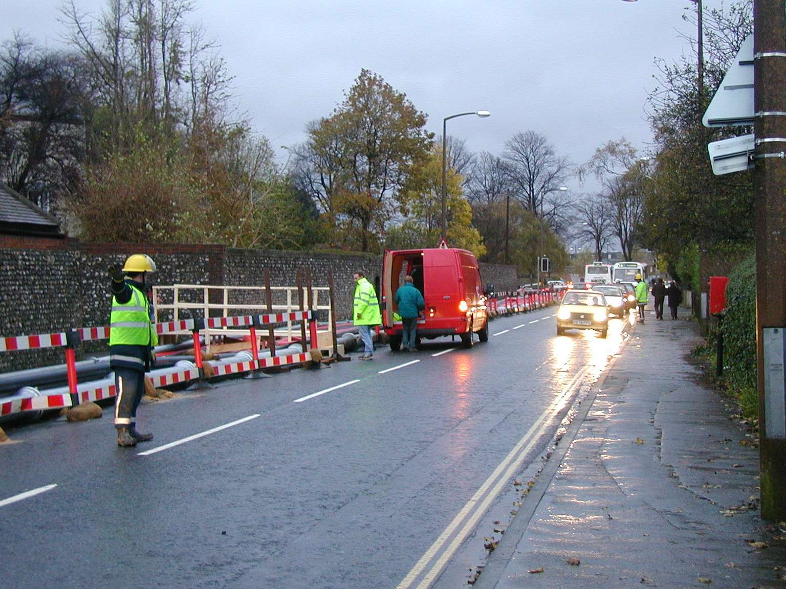
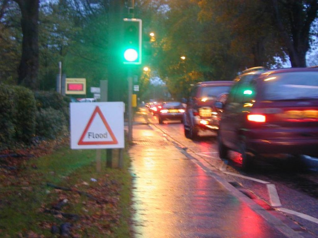
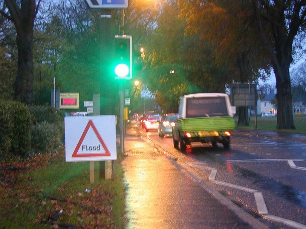
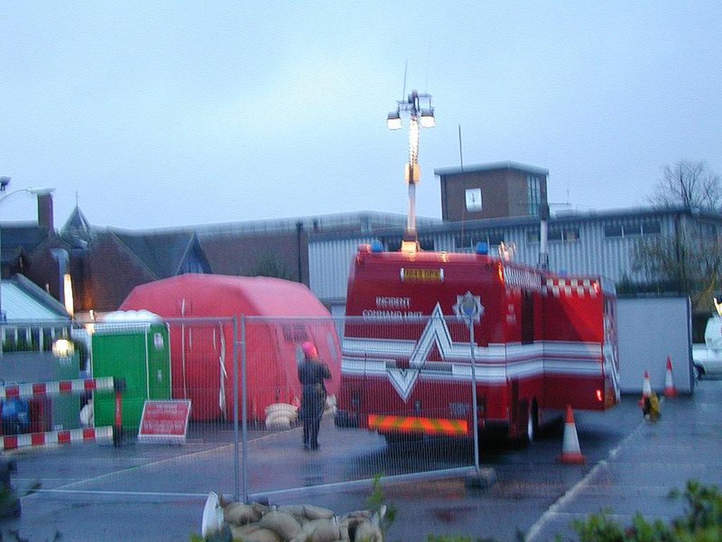
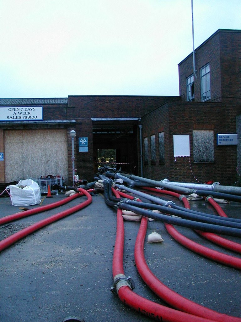
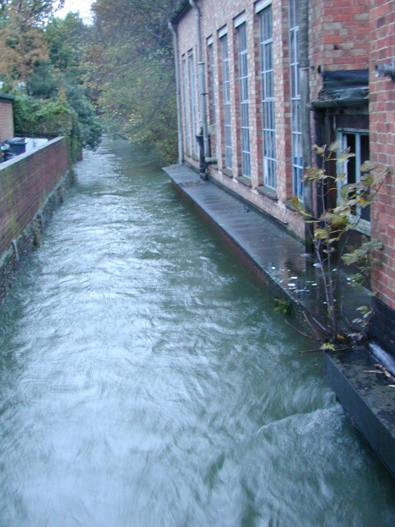
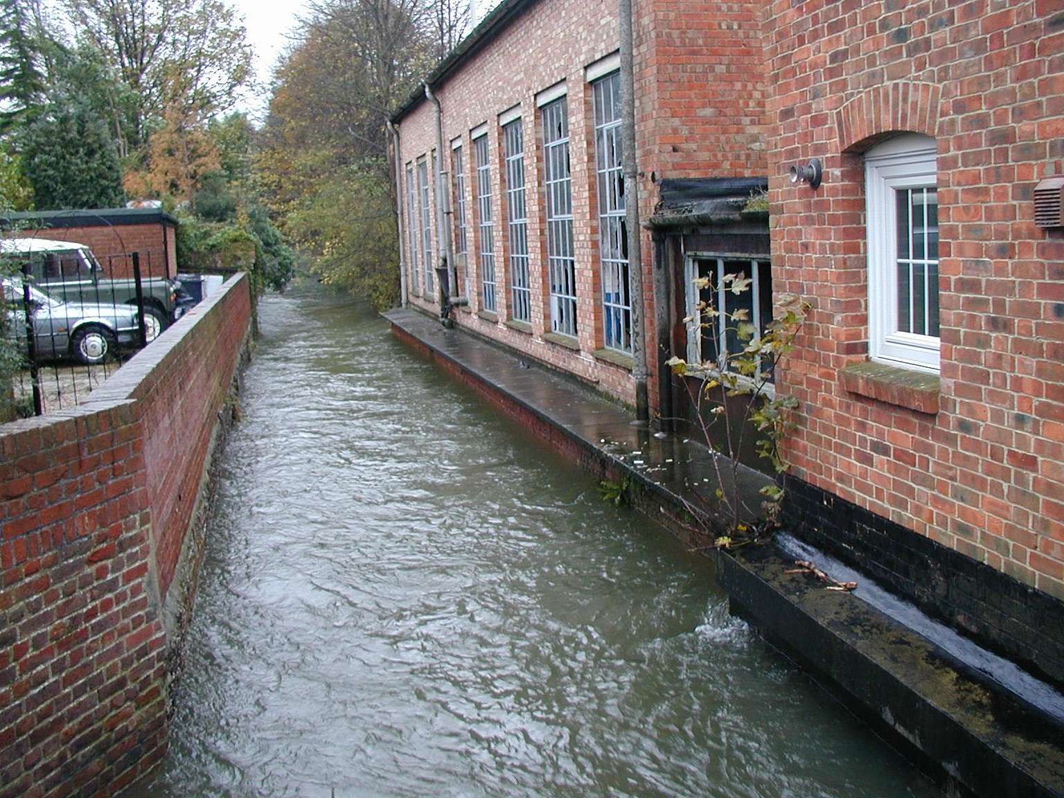
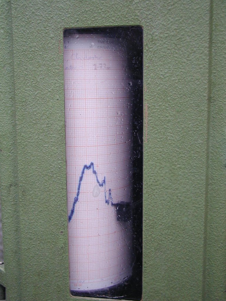
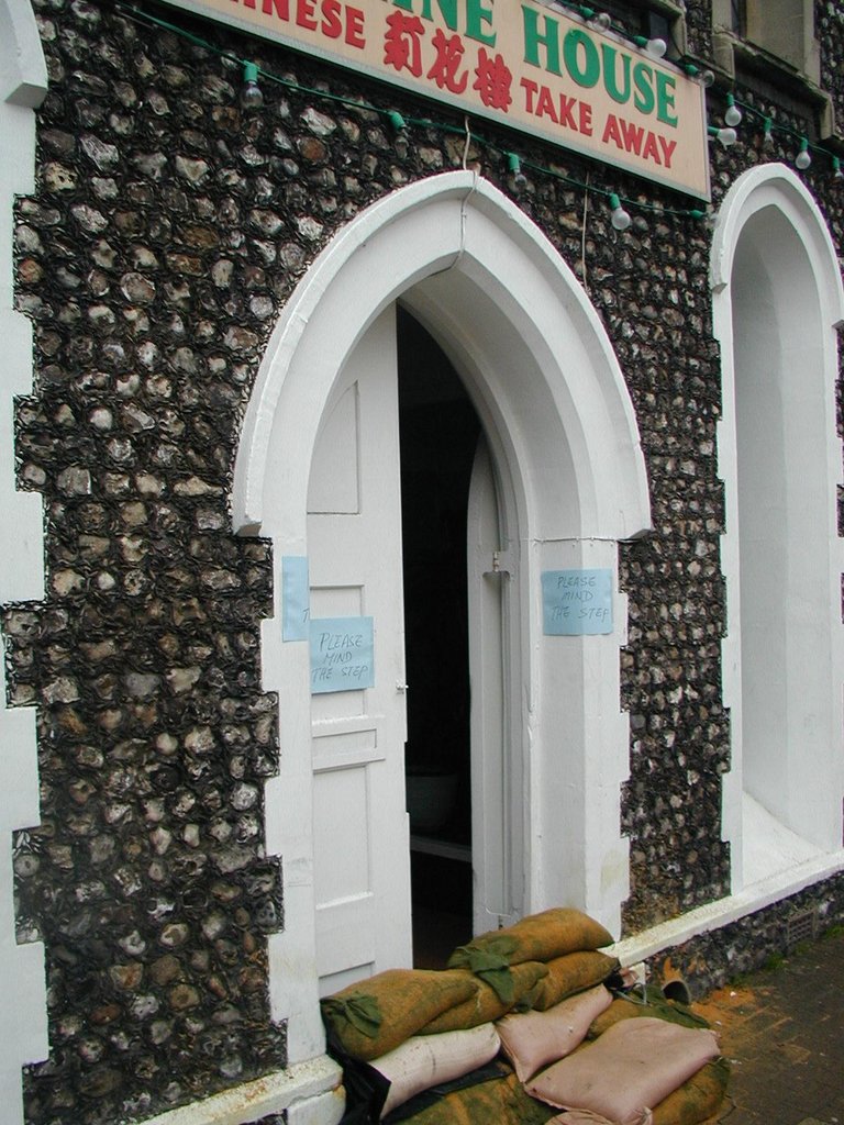
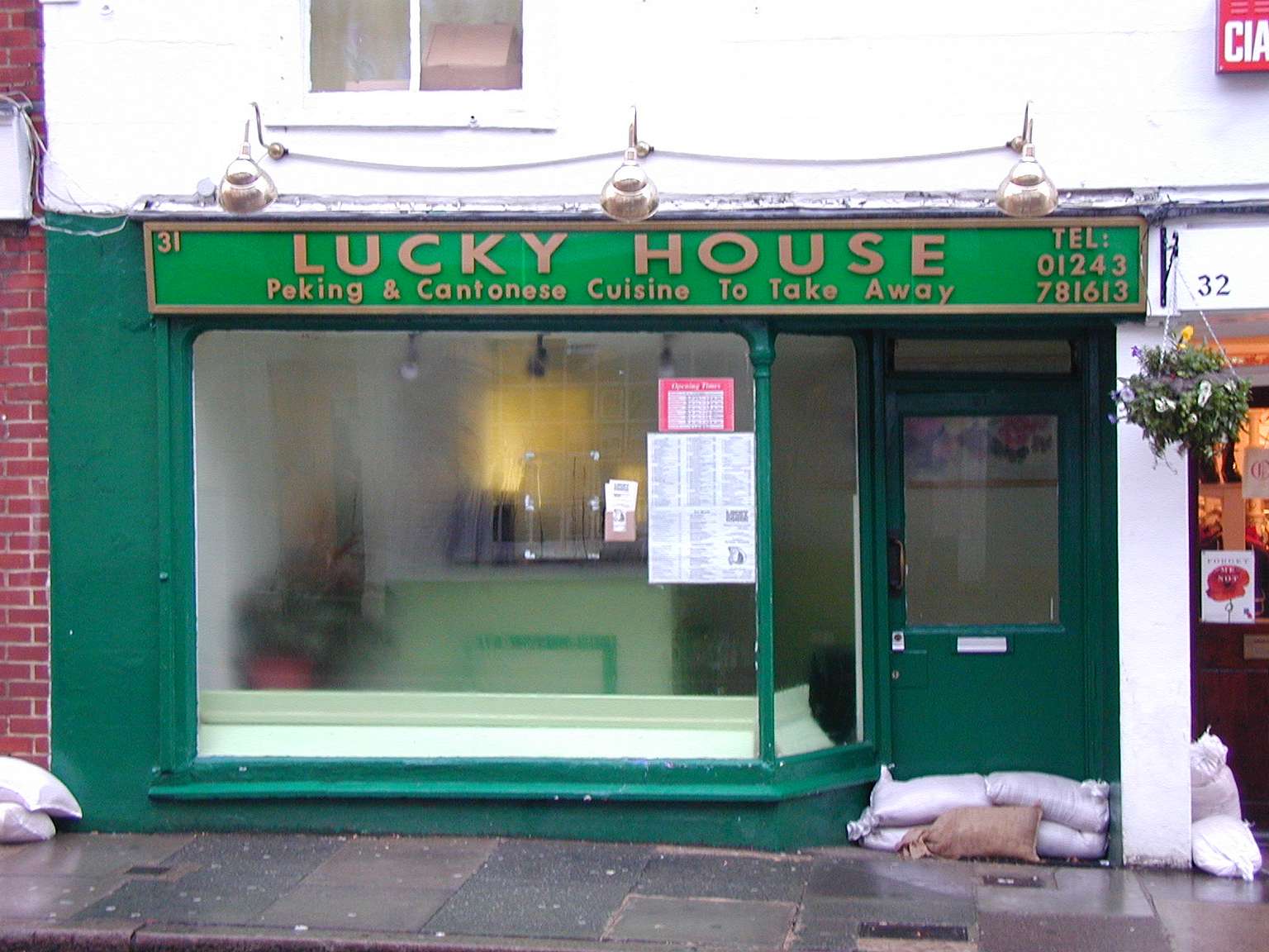
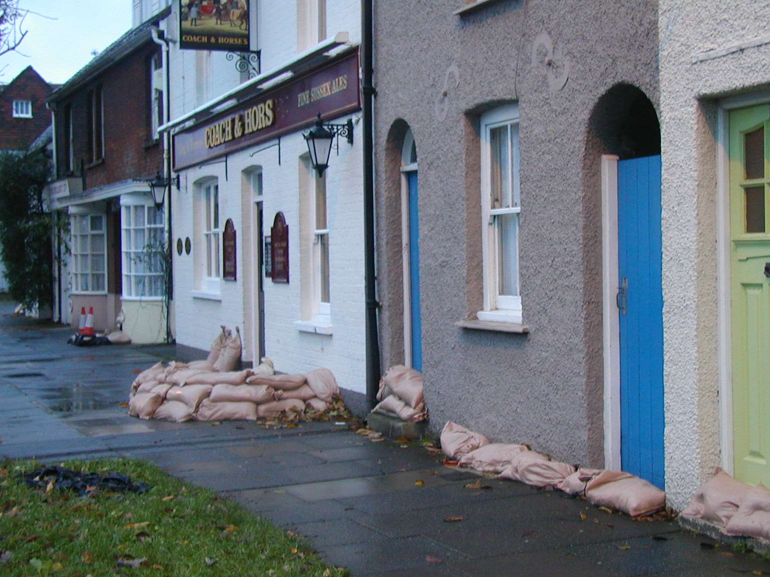
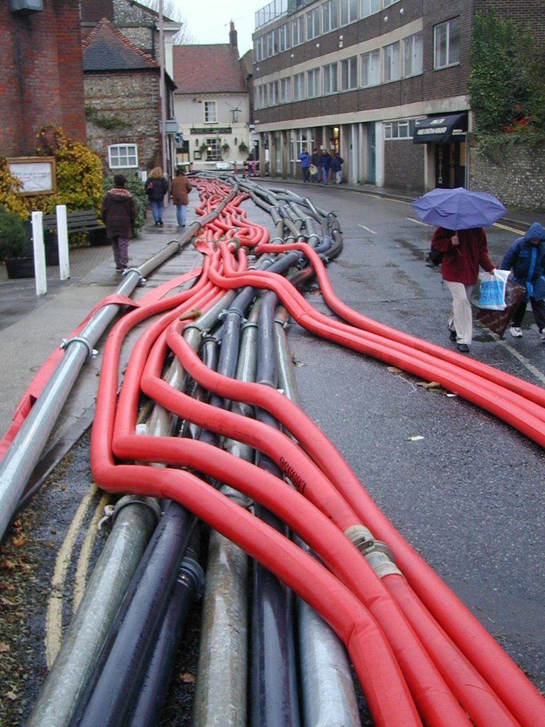
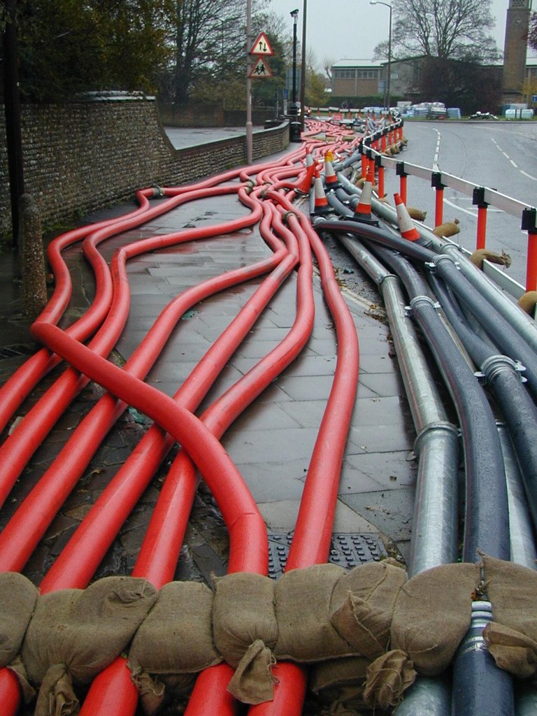
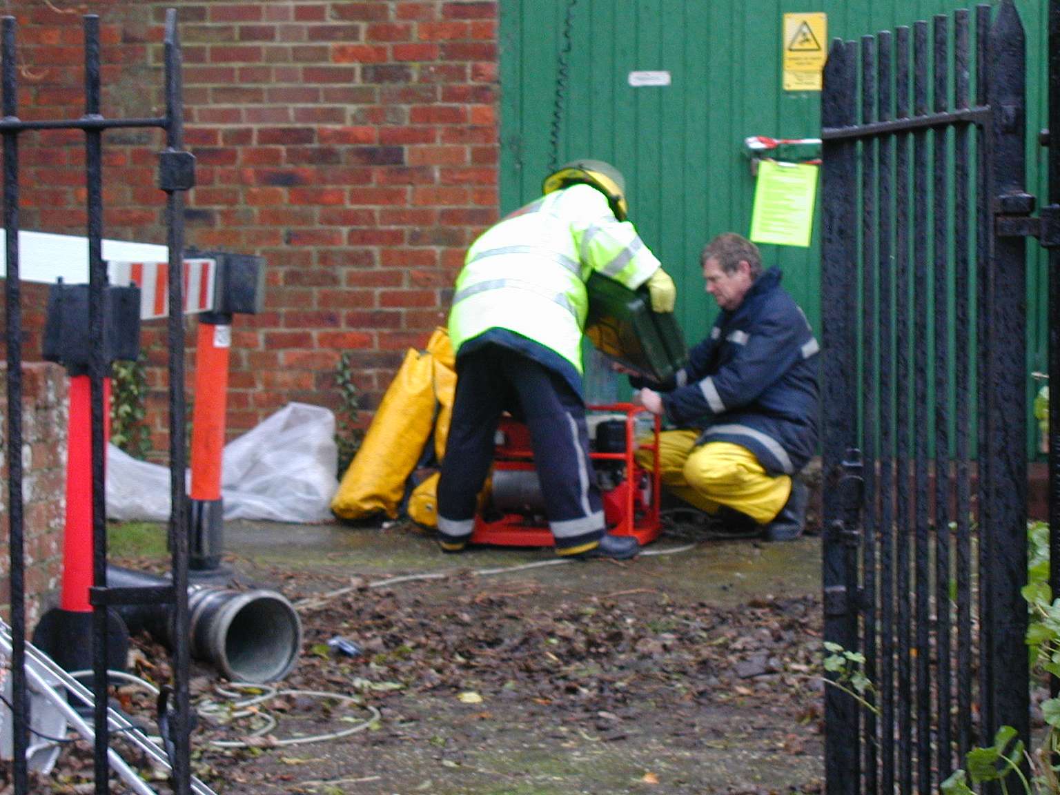
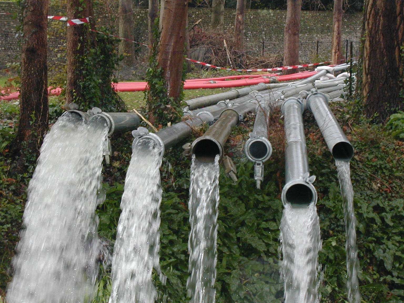
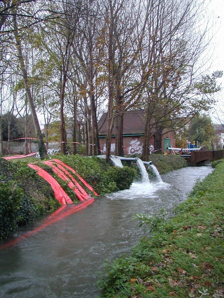
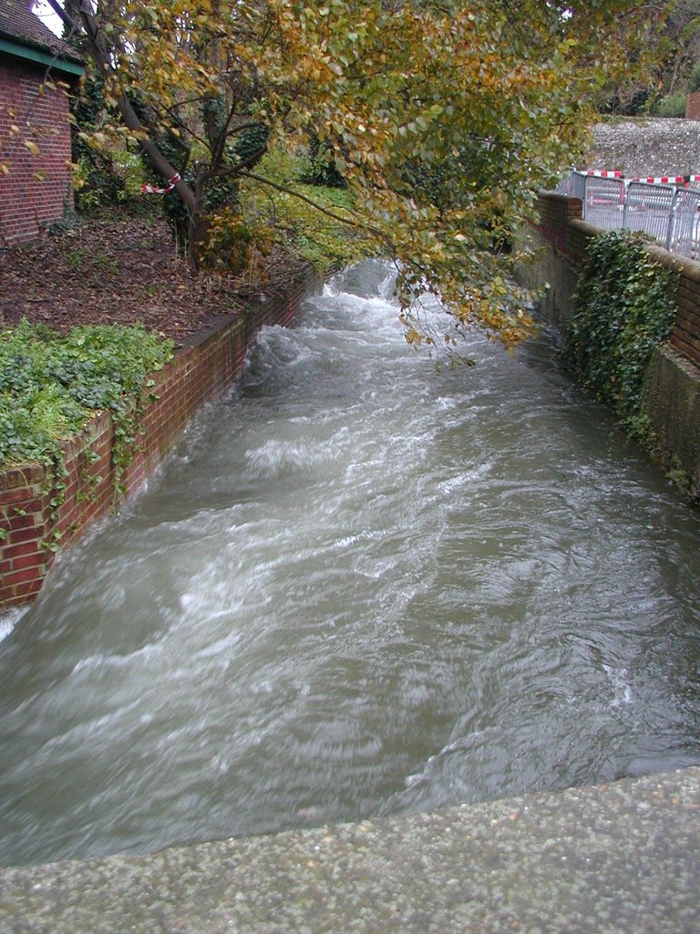
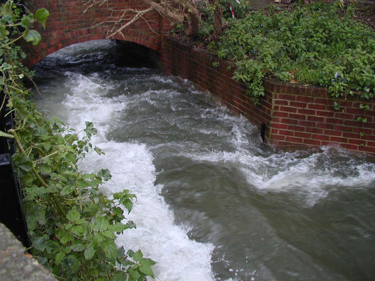
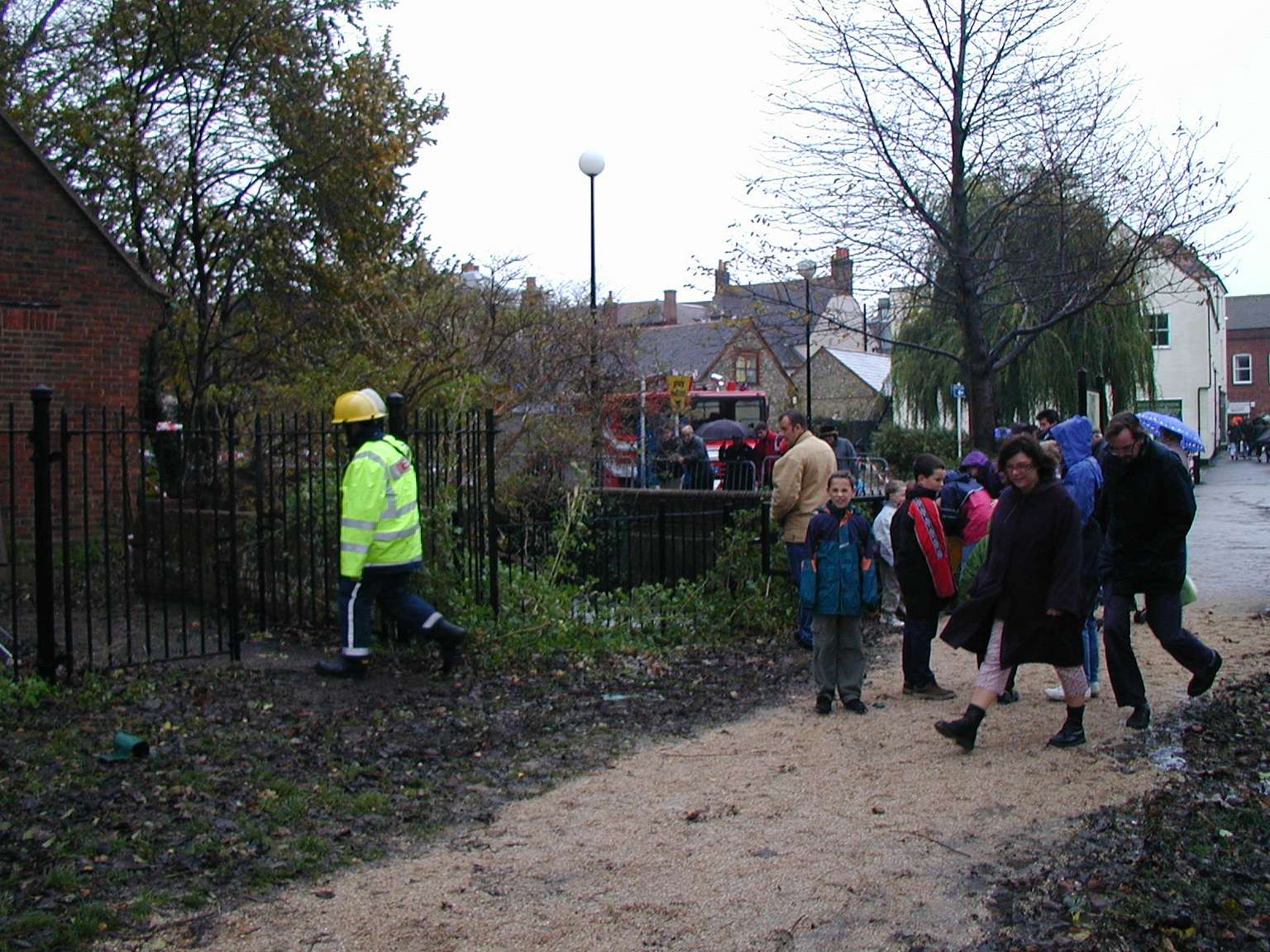
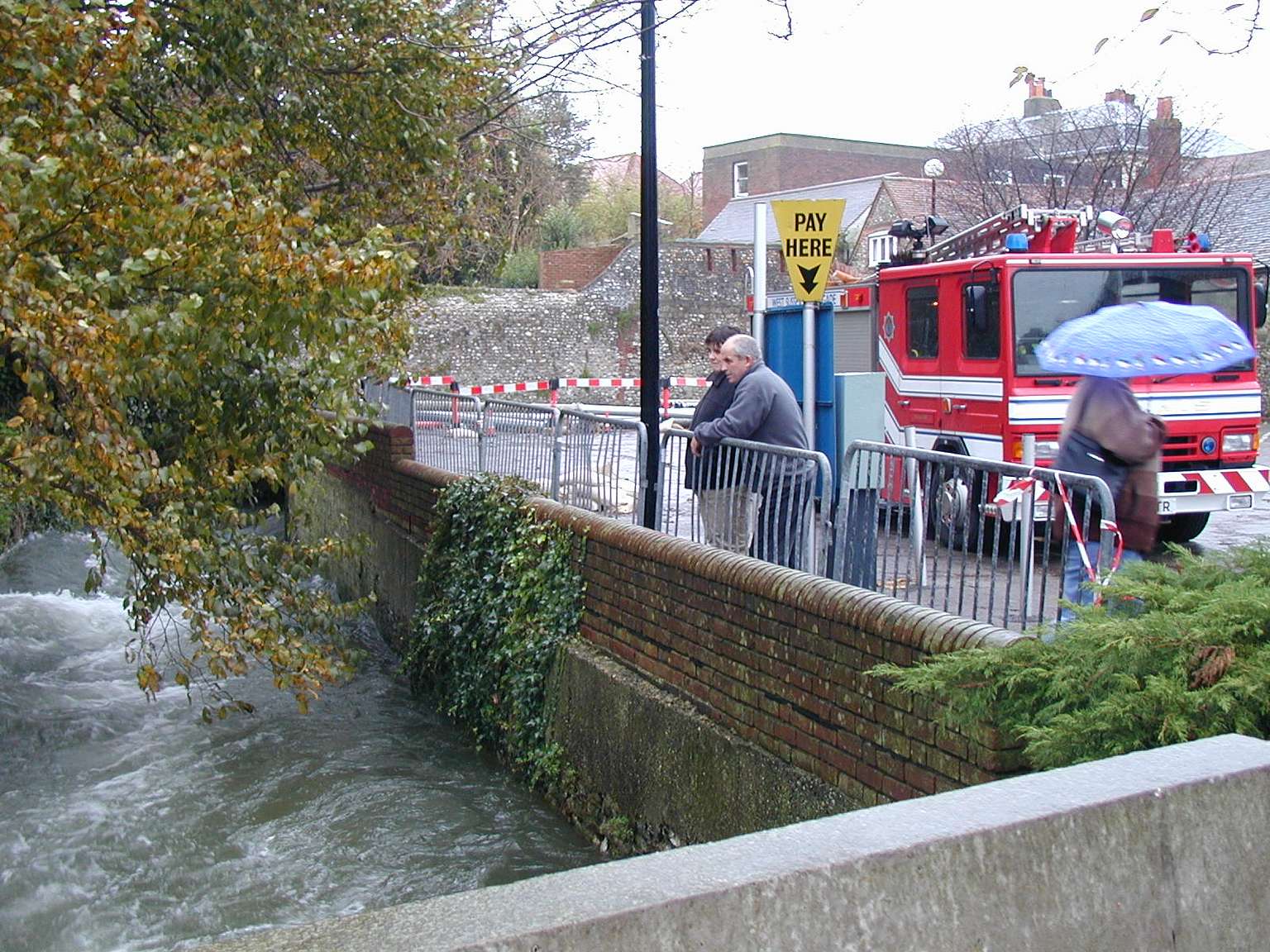
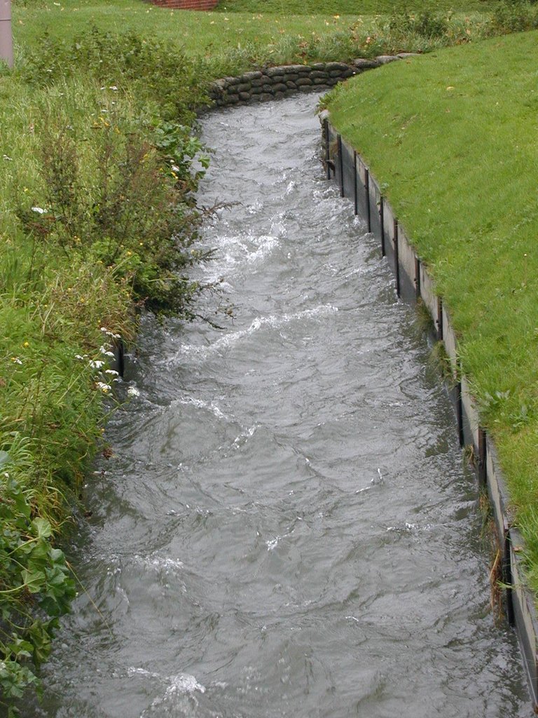
During the Winter of 2000/2001 the South of England was hit by some of the worst flooding on record. Armed with a new digital camera I decided to try and capture how this affected the city where I lived, Chichester.
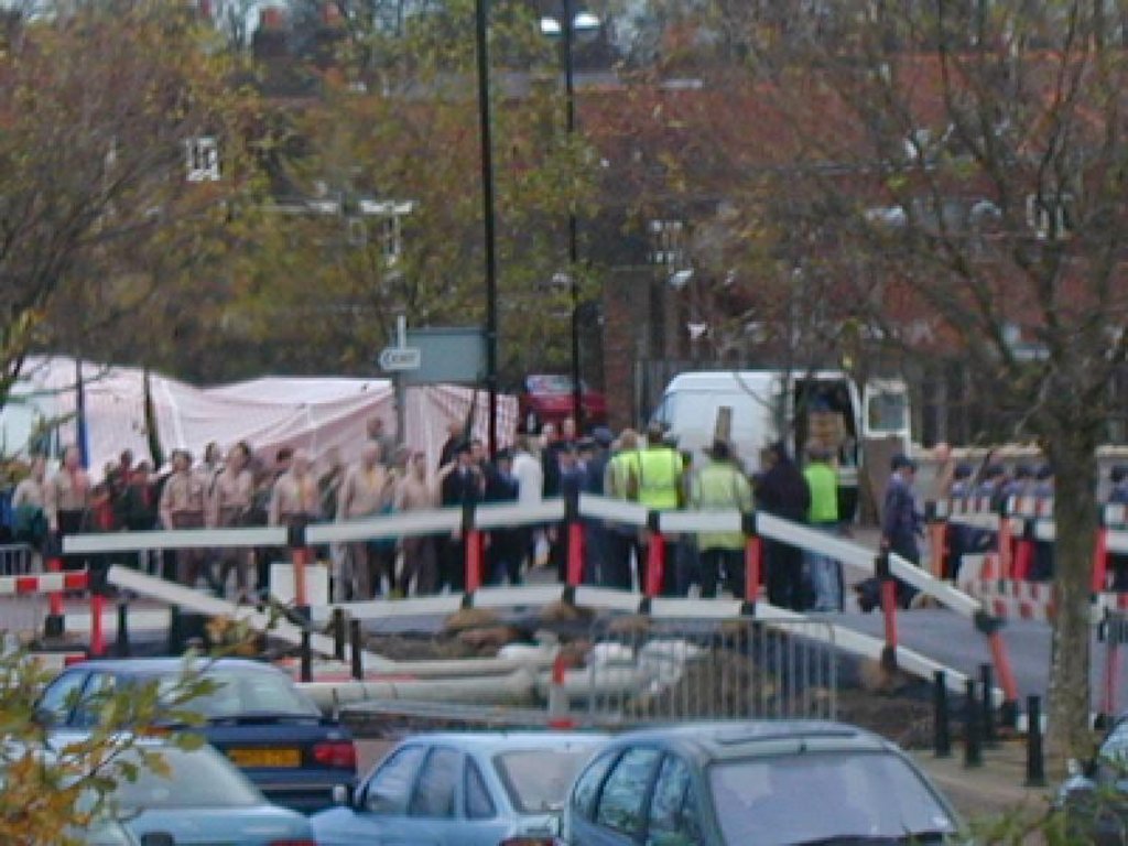
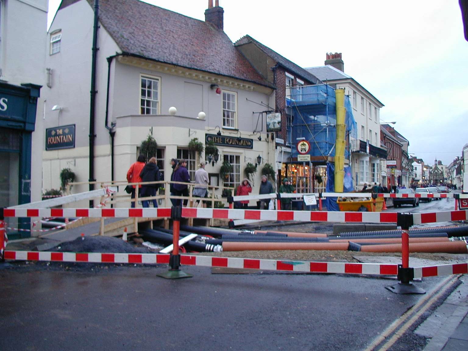
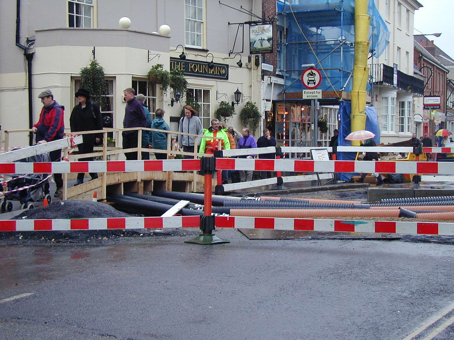
The city didn't flood in the end, but only because drastic measures were taken to move the water using a series of pipes stretching across the city. Including cutting right across the main road into town, with traffic going over a makeshift wooden bridge.
Due to low light and my inexperience some of these images aren't great, but I found it interesting and it sparked an interest for me.